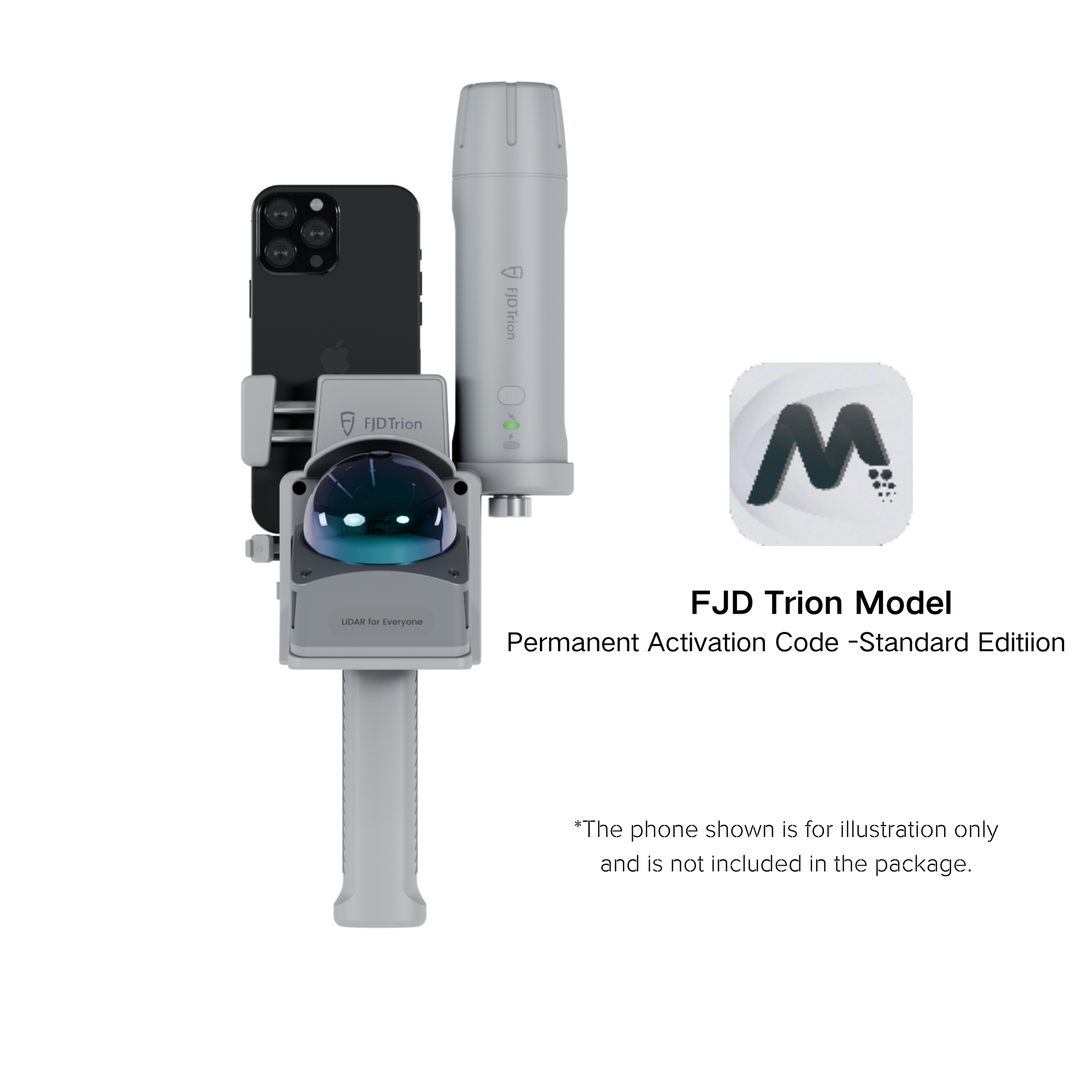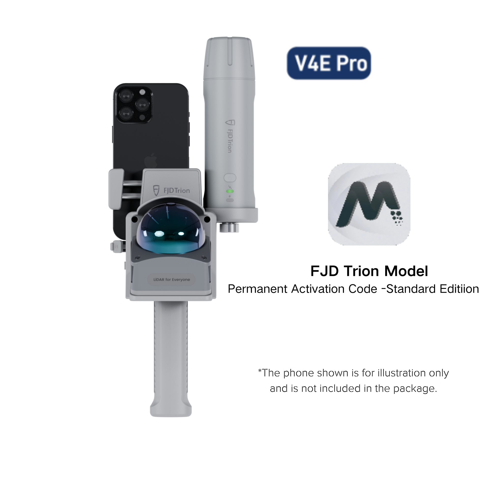


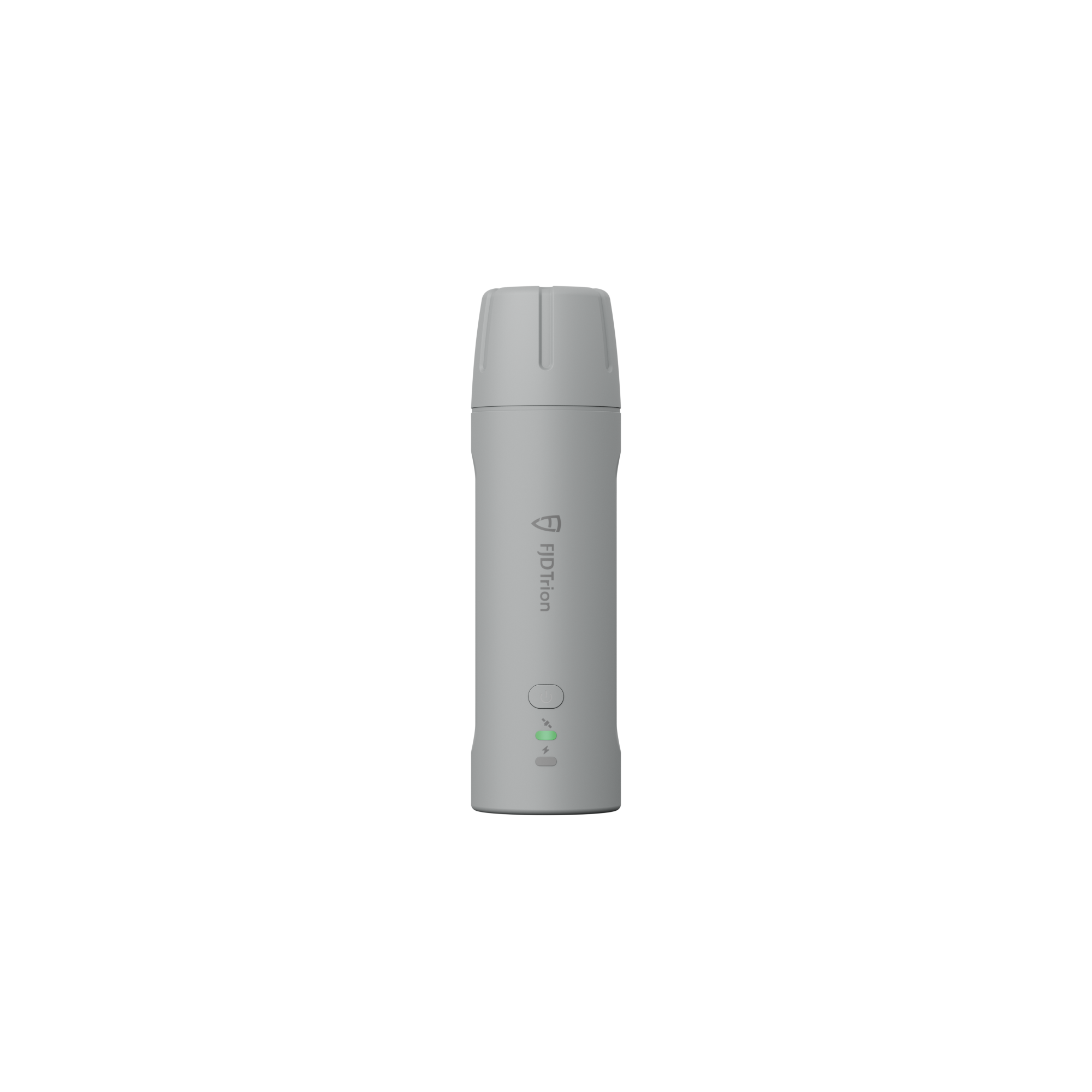

Receptor FJD Trion V4e y V4e Pro Mini RTK
Pequeño en la mano, ilimitado en la tierra
- Pequeño tamaño, gran potencia
- Diseñado para ser resistente y eficiente durante todo el día
- ACCESO MÁS FÁCIL AL ECOSISTEMA TECNOLÓGICO FJD
Folleto del receptor RTK FJD Trion V4e
Manual del receptor FJD Trion V4e RTK
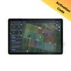
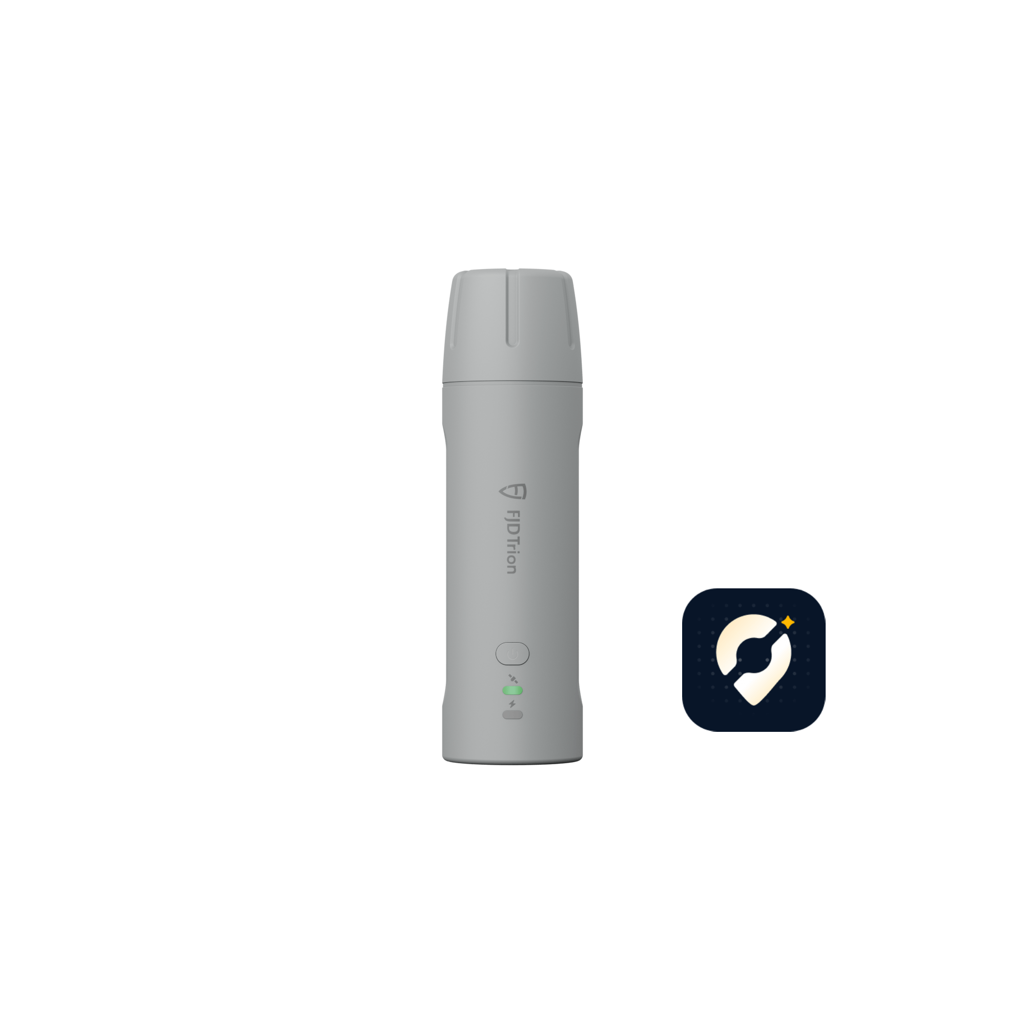
Descargue la aplicación FJD Trion Scan
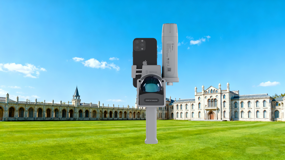
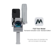
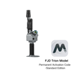
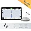
Designed to work with FJD Trion V4e LiDAR.

![]() Get it between -
Get it between -


Pequeño en la mano, ilimitado en la tierra
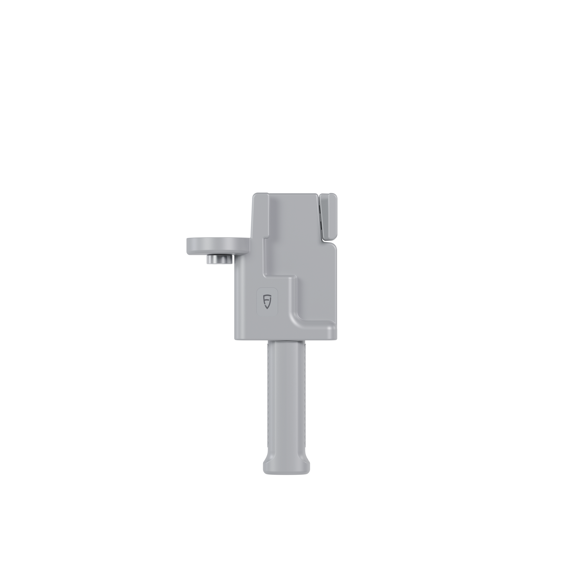
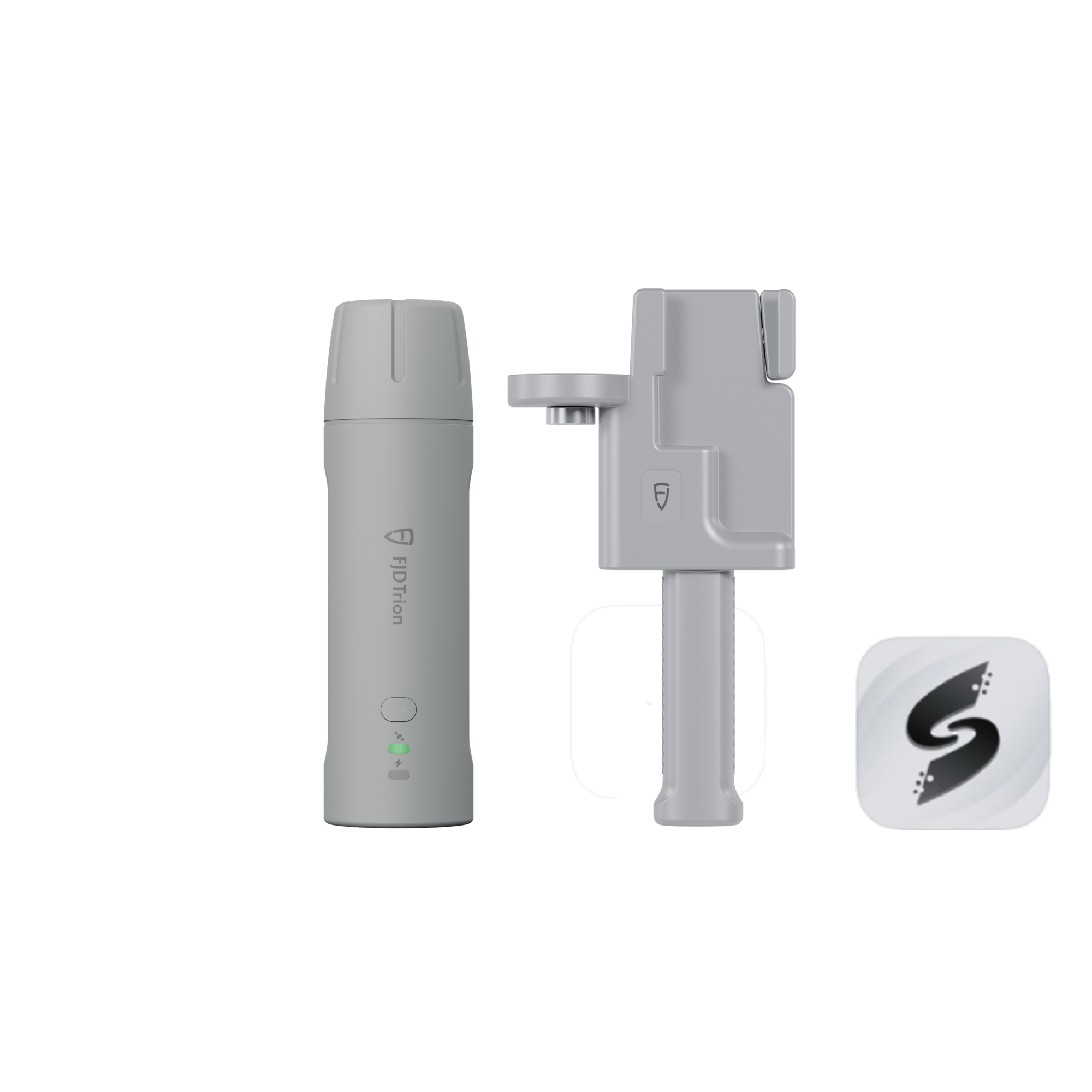
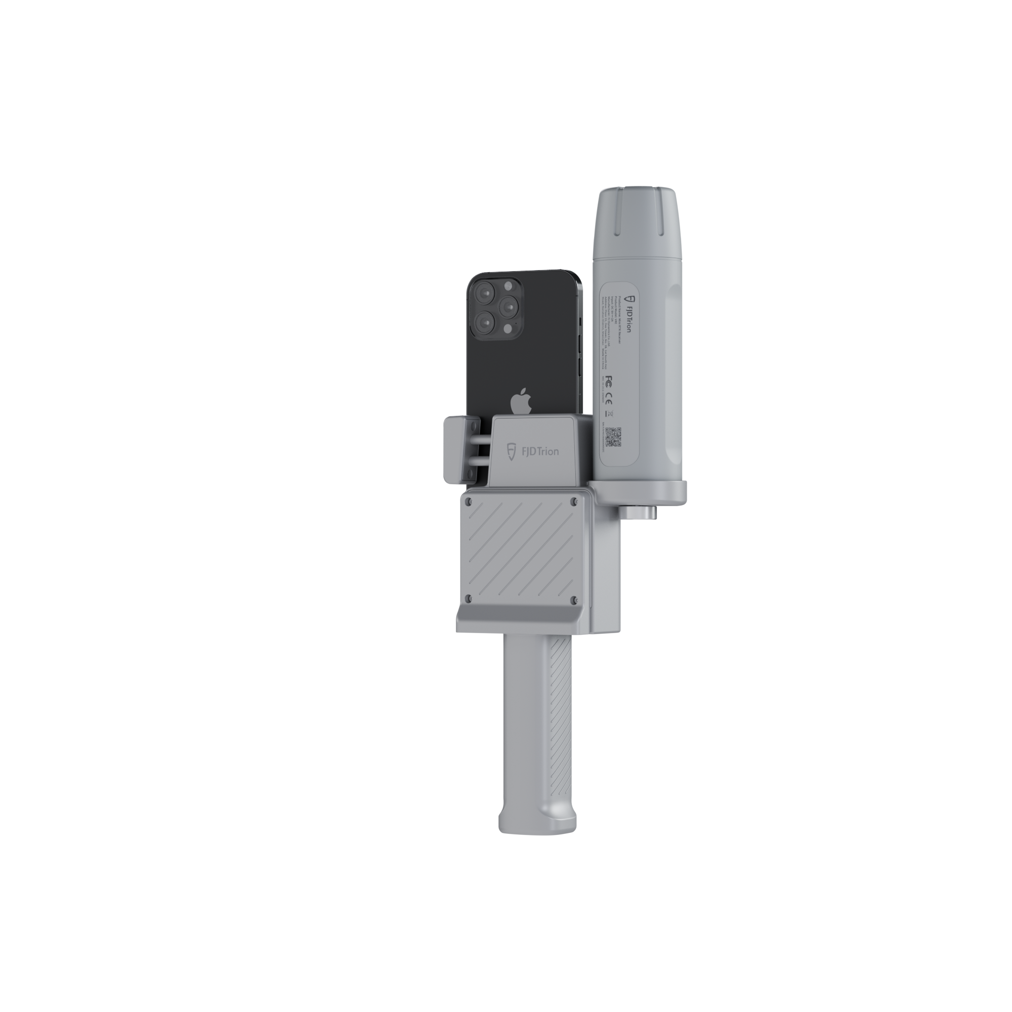
El receptor RTK FJD Trion V4e Mini rompe las barreras de los receptores GNSS tradicionales con su practicidad y precisión portátil. Con un peso de tan solo 320 g, el V4e ofrece posicionamiento centimétrico sin necesidad de centrado, lo que lo hace perfecto para particulares, equipos y profesionales en movimiento. Fácil de usar y económico, permite aprovechar al instante el potencial de la topografía de alta precisión.

Main Features
 Global Constellations Supported 1408 Channels |  H≤0.8 cm+1 ppm V<1.5cm+1 ppm |  Pocket-Sized Only 320g |
 Battery Life ≥12h Charging Time <3h |  1.2m Anti-Drop |  Startup Time Cold: <30s, Hot: <5s, RTK Init:5s |
Key Benefits
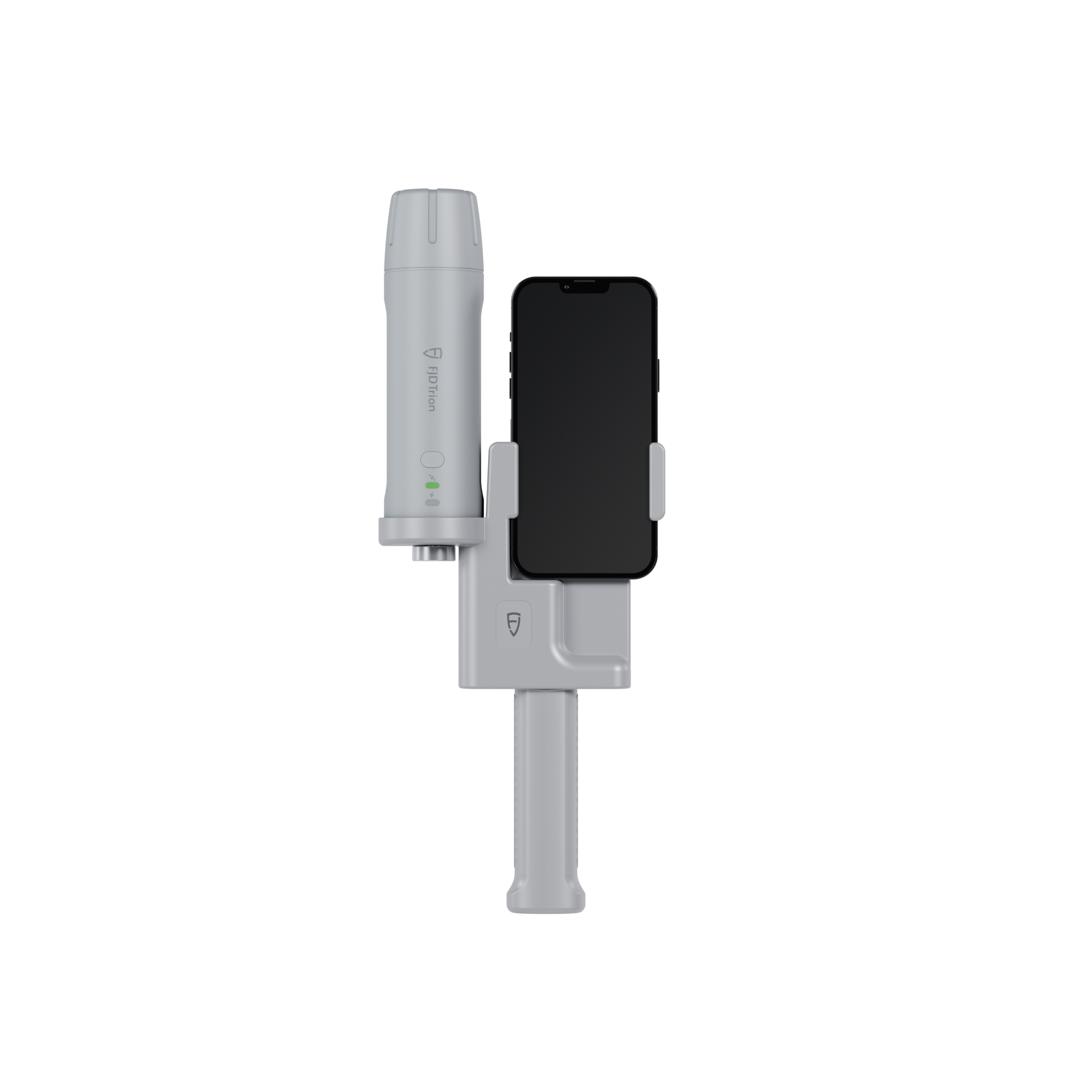
 | Small Size, Big PowerDeliver centimeter-level accuracy with ±1.5 cm static precision. It supports 1408 channels and covers all GNSS constellations, including GPS, BDS, GLONASS, Galileo, QZSS, and SBAS. Weighing only 320g, the V4e offers broad compatibility with popular correction services, supporting NTRIP connectivity with RTCM 2.3, RTCM 3.x, and CMR. |
No Pole, No ProblemCompensate for tilt angles up to 30° (PRO version) with a built-in IMU, so you don't need to hold it perfectly straight. This gives you ≤3cm accuracy at a 3m distance without a leveling rod. Its onboard LiDAR rangefinder in the PRO version also achieves ±3mm precision at a 10m distance for precise point targeting. |  |
 | Built Tough for All-Day EfficiencyStay powered up for the entire workday. It can run for over 12 hours and takes less than 3 hours to charge. You can even keep the V4e working while charging it with a power bank, so your work is never interrupted. |
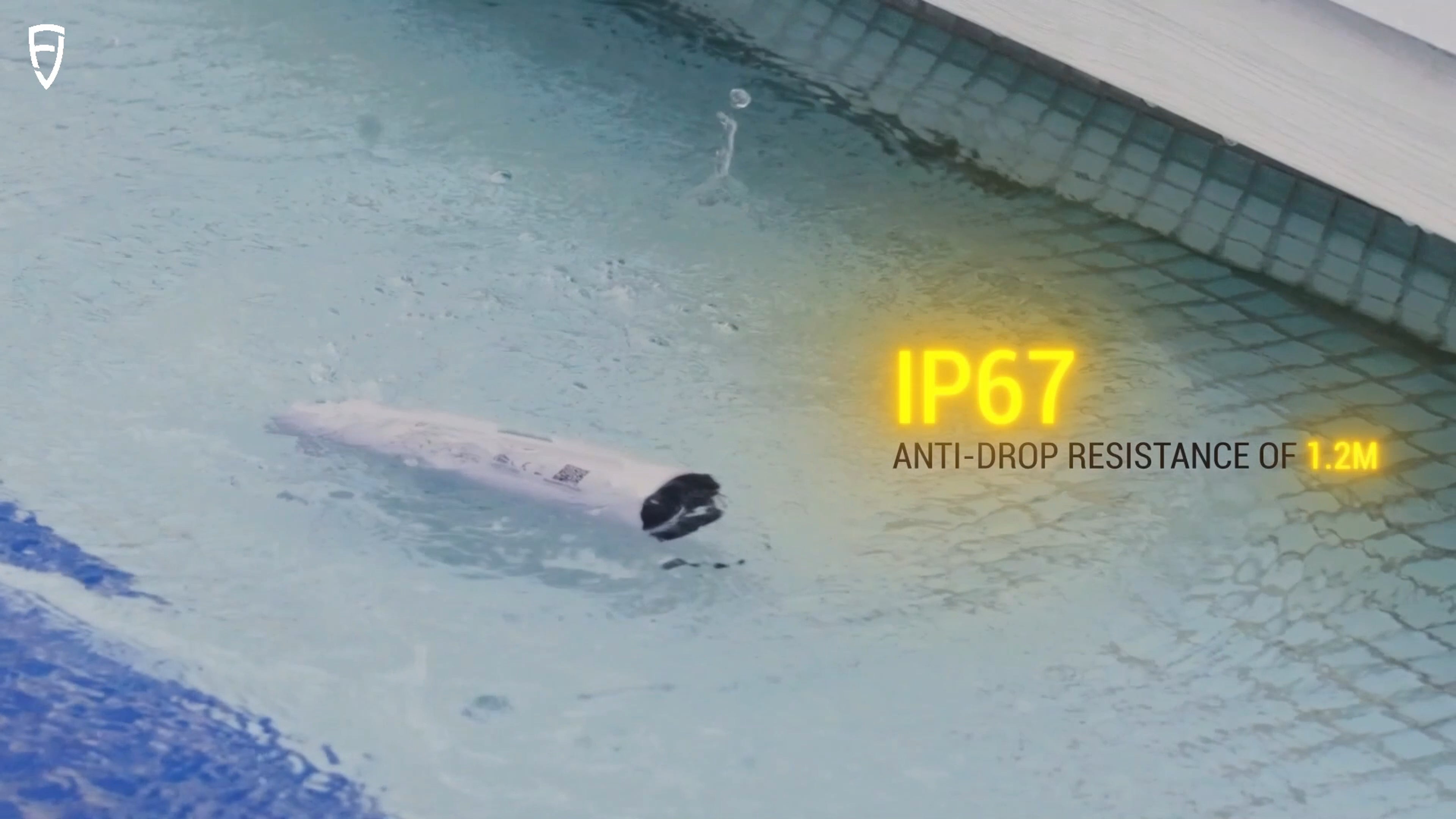
Protected. Durable. Reliable.With IP67-rated protection against water and dust, and 1.2-meter drop resistance, the V4e is built to withstand tough environments. It keeps working reliably even when exposed to dust or accidental drops, ensuring consistent accuracy for your outdoor projects. |  |
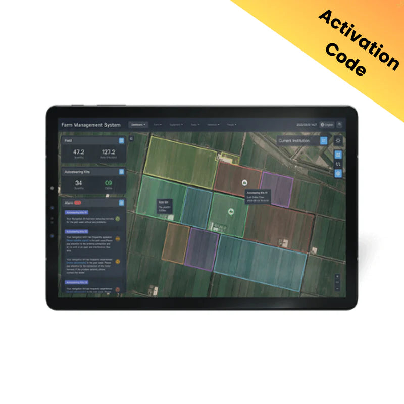
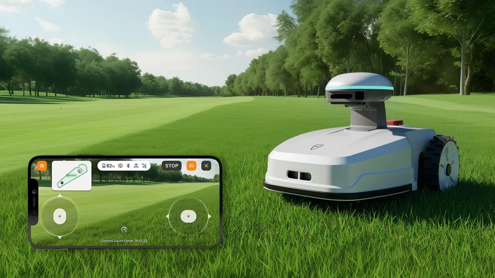
 | EASIER ACCESS TO FJD TECH ECOSYSTEMAccess the FJD ecosystem quickly for a smooth workflow from field to machine. The GNSS data you collect with the V4e in the field can be directly used by FJD's farming autosteering systems, robotic mowers, and other smart devices for automated tasks. You don't have to convert the data, allowing you to work faster and reduce mistakes. * Beyond the FJD ecosystem, its open design also supports customization to fit your unique needs. |
Small Size, Big Power
Deliver centimeter-level accuracy with ±1.5 cm static precision. It supports 1408 channels and covers all GNSS constellations, including GPS, BDS, GLONASS, Galileo, QZSS, and SBAS. Weighing only 320g, the V4E offers broad compatibility with popular correction services, supporting NTRIP connectivity with RTCM 2.3, RTCM 3.x, and CMR.No Pole, No Problem
Compensate for tilt angles up to 30° (PRO version) with a built-in IMU, so you don't need to hold it perfectly straight. This gives you ≤3cm accuracy at a 3m distance without a leveling rod. Its onboard LiDAR rangefinder in the PRO version also achieves ±3mm precision at a 10m distance for precise point targeting.Built Tough for All-Day Efficiency
Stay powered up for the entire workday. It can run for over 12 hours and takes less than 3 hours to charge. You can even keep the V4E working while charging it with a power bank, so your work is never interrupted.Protected. Durable. Reliable.
With IP67-rated protection against water and dust, and 1.2-meter drop resistance, the V4E is built to withstand tough environments. It keeps working reliably even when exposed to dust or accidental drops, ensuring consistent accuracy for your outdoor projects.EASIER ACCESS TO FJD TECH ECOSYSTEM
Access the FJD ecosystem quickly for a smooth workflow from field to machine. The GNSS data you collect with the V4E in the field can be directly used by FJD's farming autosteering systems, robotic mowers, and other smart devices for automated tasks. You don't have to convert the data, allowing you to work faster and reduce mistakes.* Beyond the FJD ecosystem, its open design also supports customization to fit your unique needs.
Why Choose RTK

Application Scenarios
 Topographical Survey |  Construction & BIM |  Utilities & Public Works |
 Road Surveying |  Forestry & Agriculture |  Quick Robotic Integration |
Topographical Survey
Construction & BIM
Utilities & Public Works

Road Surveying
Forestry & Agriculture
Quick Robotic Integration
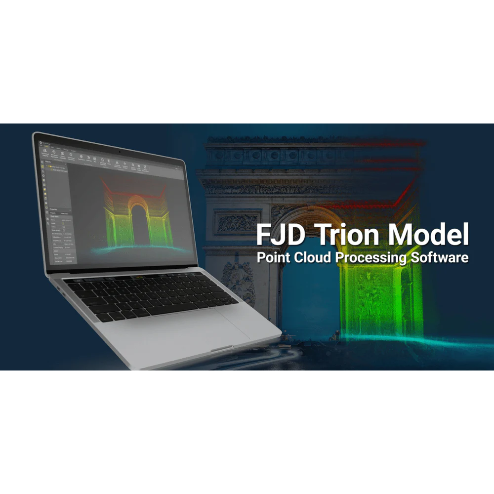
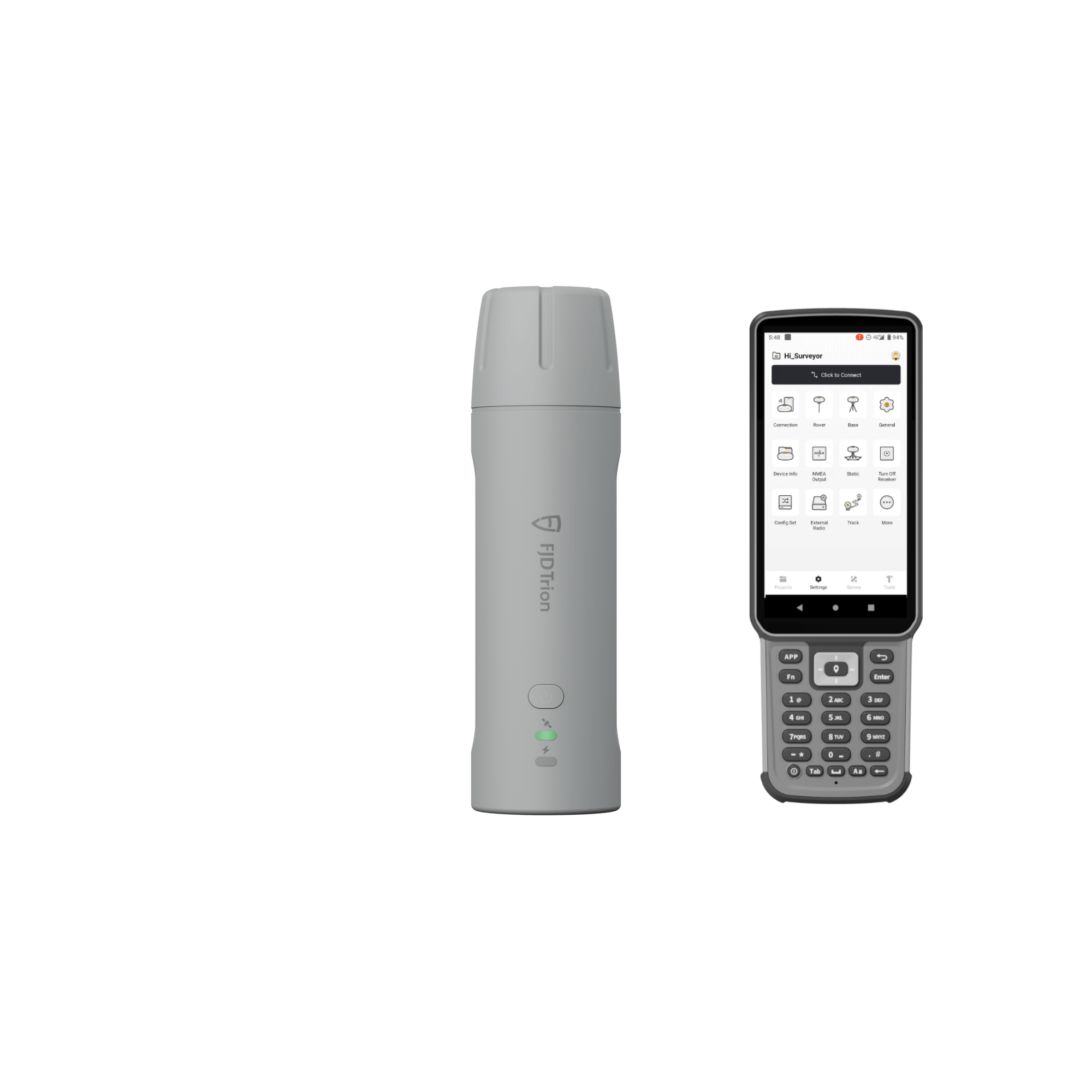
Introducción a la aplicación FJD Trion Survey
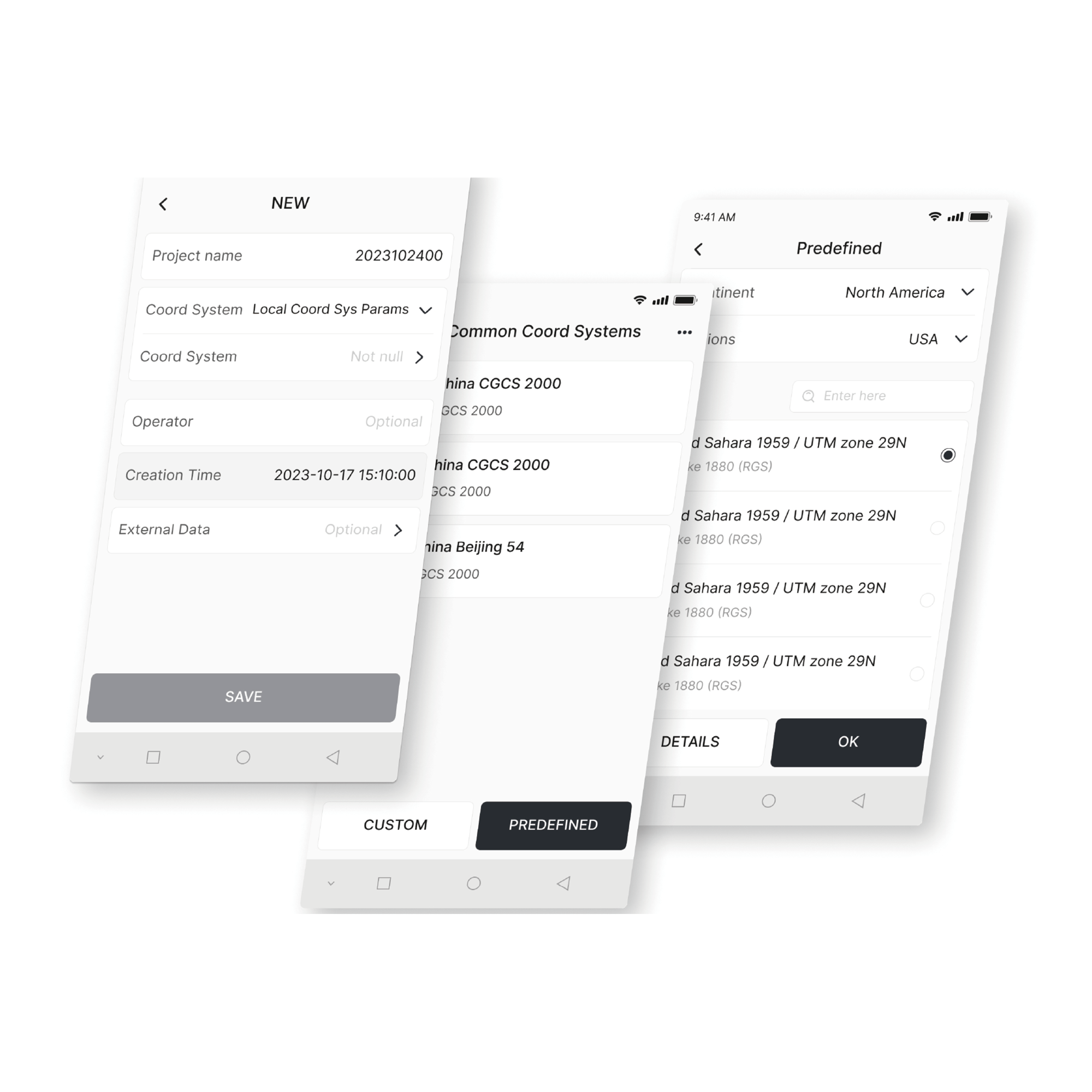
Transformación de coordenadas
Cree diversos modelos de planos y elevaciones con más de 8000 sistemas de coordenadas, 70 elipsoides y 30 proyecciones. También puede gestionar correcciones geoidales para satisfacer sus necesidades regionales.
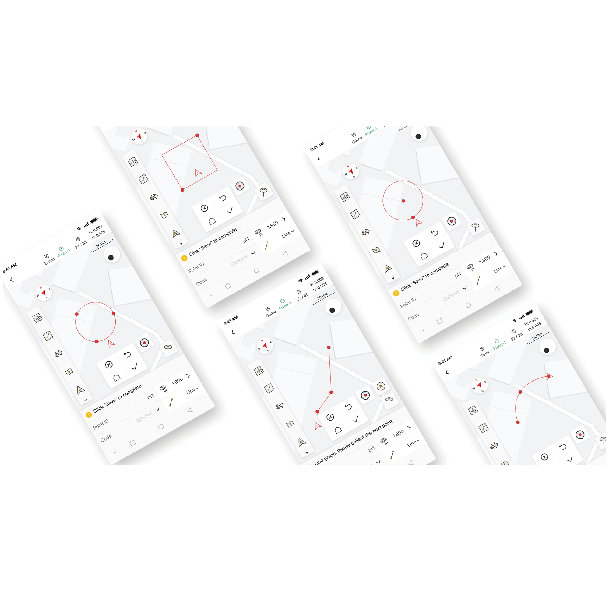
Medir y dibujar
Obtenga datos de posicionamiento precisos y mida/dibuje 10 formas comunes (incluyendo polilíneas, círculos y rectángulos). También puede realizar mediciones basadas en código con categorías gráficas claras para agilizar el mapeo posterior al levantamiento.
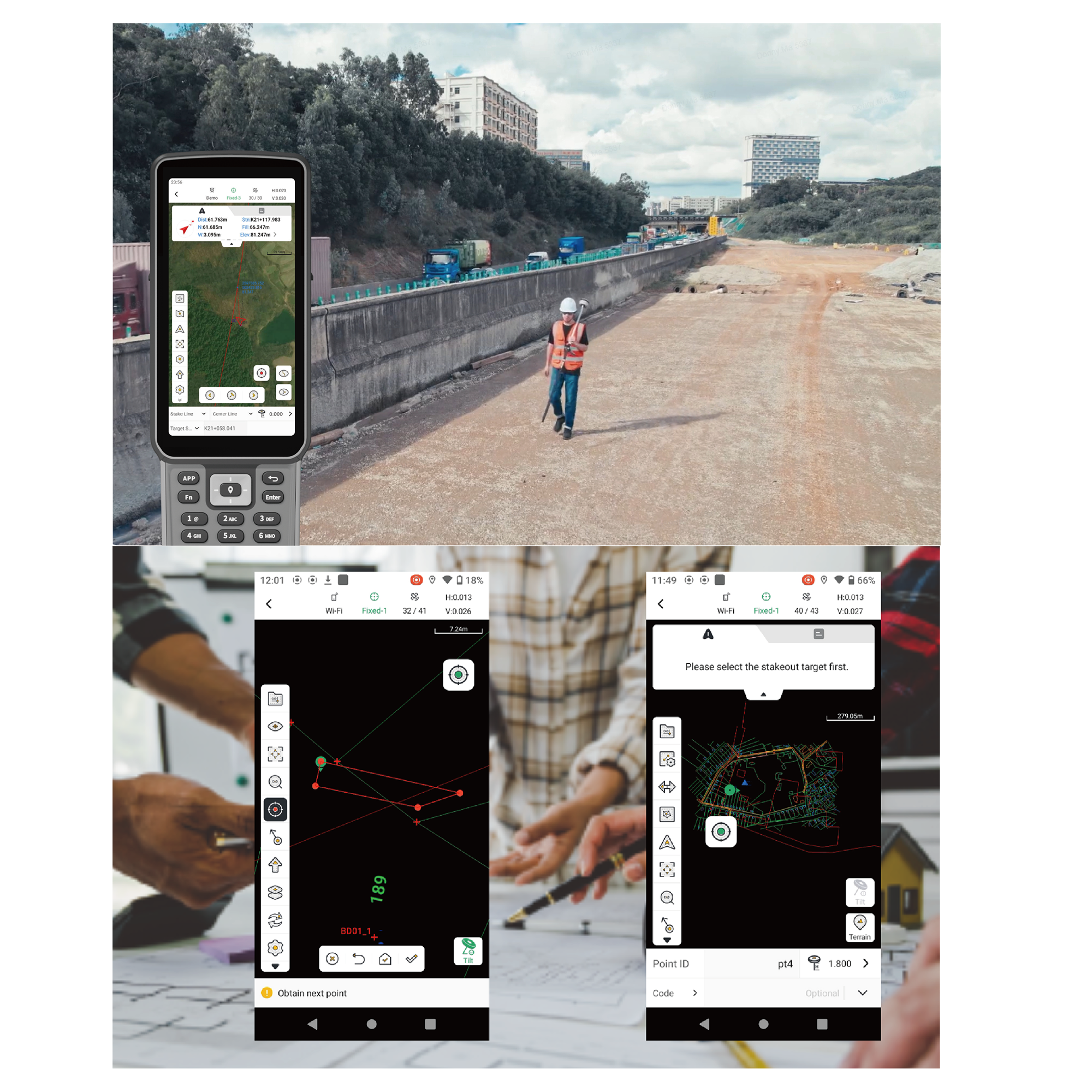
Replanteo eficiente y coordinación fluida
Después de procesar los datos en la aplicación Survey, puede agregar etiquetas personalizadas y exportarlas rápidamente a archivos CAD comunes para un replanteo de campo rápido. También puede usar la aplicación para ver detalles de la carretera, como ecuaciones de estaciones, alineaciones, secciones transversales y pendientes. Una vez que haya confirmado que la información de replanteo es correcta, puede exportarla como un archivo de carreteras LandXML para compartirla rápidamente y coordinarla sin problemas.
Adaptable para uso global
Con 16 idiomas disponibles, la aplicación Trion Survey le permite procesar los datos de terreno recopilados con V4E en su idioma preferido. Además, puede cambiar libremente entre los modos horizontal y vertical para una mejor visualización de los datos en el UA80 de 8 pulgadas y el D10 de 10 pulgadas. Esto simplifica su flujo de trabajo, desde el campo hasta el procesamiento, y prepara rápidamente sus datos para el siguiente proyecto.
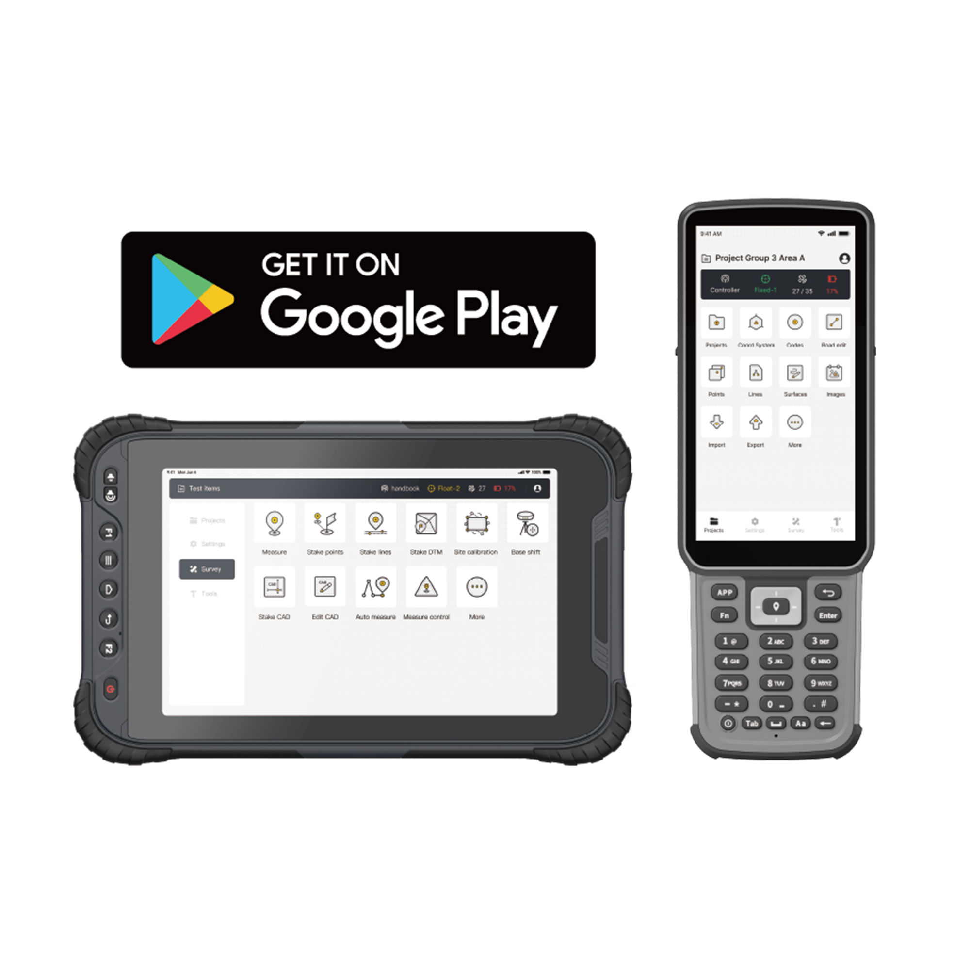
Download
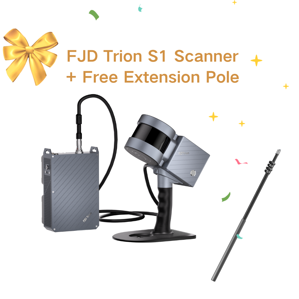
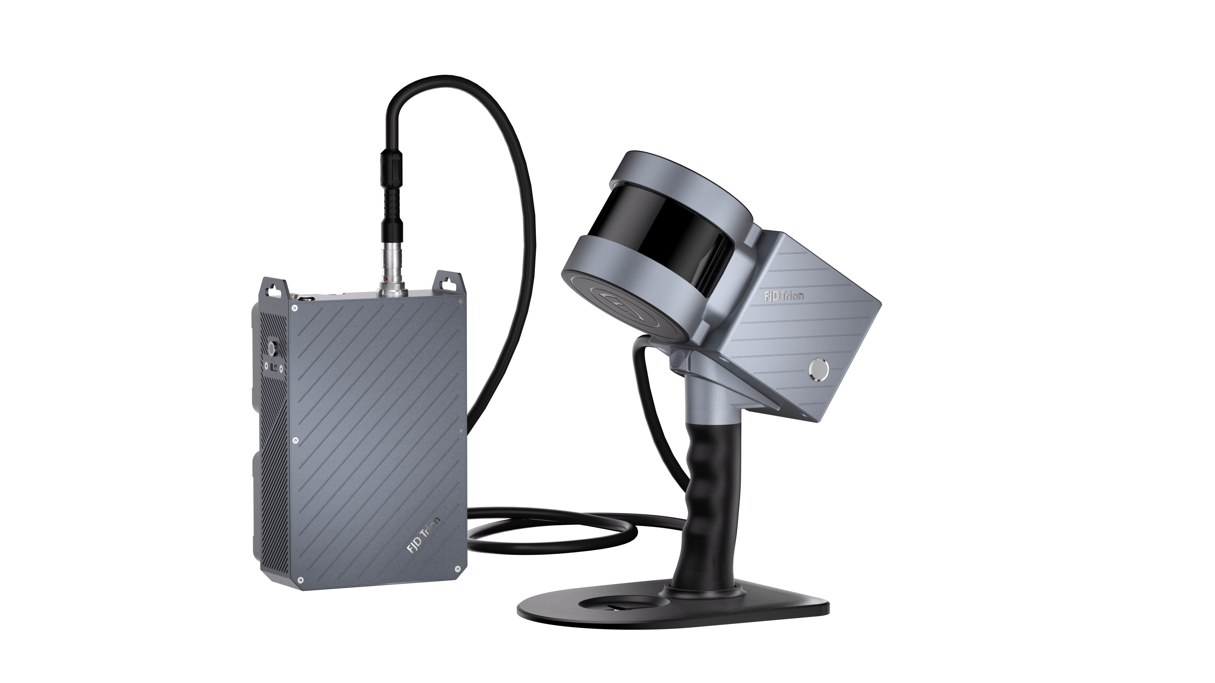
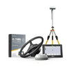
Packing List
 |  |  |
V4E / V4e PRO *1 | Charging Cable *1 | Screw Adapter *1 |
Specifications
 |
 |
preguntas frecuentes
Is this RTK receiver included with the Trion V4e LiDAR?
Yes. This RTK receiver is included with the Trion V4e LiDAR Kit.
What is the difference of V4e Standard and V4e Pro?
The V4e Pro builds upon the V4e Standard, adding laser range finding and tilt measurement for more advanced surveying needs, making it ideal for complex or precise projects.
¿Cómo cargar el límite creado por V4e a la terminal del sistema de navegación?
Utilizando la APP de Encuesta o la App correspondiente.
¿Cómo utilizar este producto?
El producto incluye un manual de usuario. También puede consultar el video.
¿Se puede utilizar el V4e como estación base para vehículos aéreos no tripulados (UAV)?
No. Porque V4e no tiene un módulo de red ni una estación de radio.
¿V4e tiene una estación de radio?
No. Se recomienda utilizar Ntrip (Transporte en red de RTCM a través del Protocolo de Internet).
¿Cómo cargar los datos de límites y líneas base generados por V4e a la terminal del kit de navegación?
Cree la línea base y el límite utilizando la aplicación FieldFusion, luego seleccione sincronizarlos con la terminal vinculada.
Al usar el V4e Pro para mediciones láser, el punto láser vibra y no se puede estabilizar. ¿Hay algún accesorio para estabilizar el dispositivo y asegurar que el punto láser permanezca fijo en la posición de medición?
V4e admite dos métodos de medición: (1) Medición con inclinómetro con una varilla de centrado, que satisface la necesidad del usuario de una medición estable de puntos específicos. (2) Medición con inclinómetro láser, que es adecuada para escenarios en los que los usuarios no desean utilizar una varilla de centrado o donde la varilla de centrado no puede llegar.
Actualmente, al usar la versión 4e con Trion Survey, ¿cuál es la compatibilidad? ¿Hay alguna función importante que aún no sea compatible?
Trion Survey APP es el software de soporte para V4e y no hay problemas de compatibilidad.
¿Se puede usar V4e en un entorno sin red? ¿Y puede realizar cinemática posprocesada (PPK)?
Se recomienda usar V4e en un entorno con red. PPK no es compatible.
¿Puede V4e almacenar datos RINEX (formato de intercambio independiente del receptor)?
No.
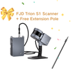
Después de conectar V4e Pro a FJD Trion Scan, ¿cuál es el formato de datos de los puntos exportados?
.las (un formato común para almacenar datos de nubes de puntos lidar)
¿Cualquier pregunta?
¡Puedes contactarnos a través de nuestra página de contacto! Estaremos encantados de atenderte.
También te puede interesar